ArcGIS Field Maps
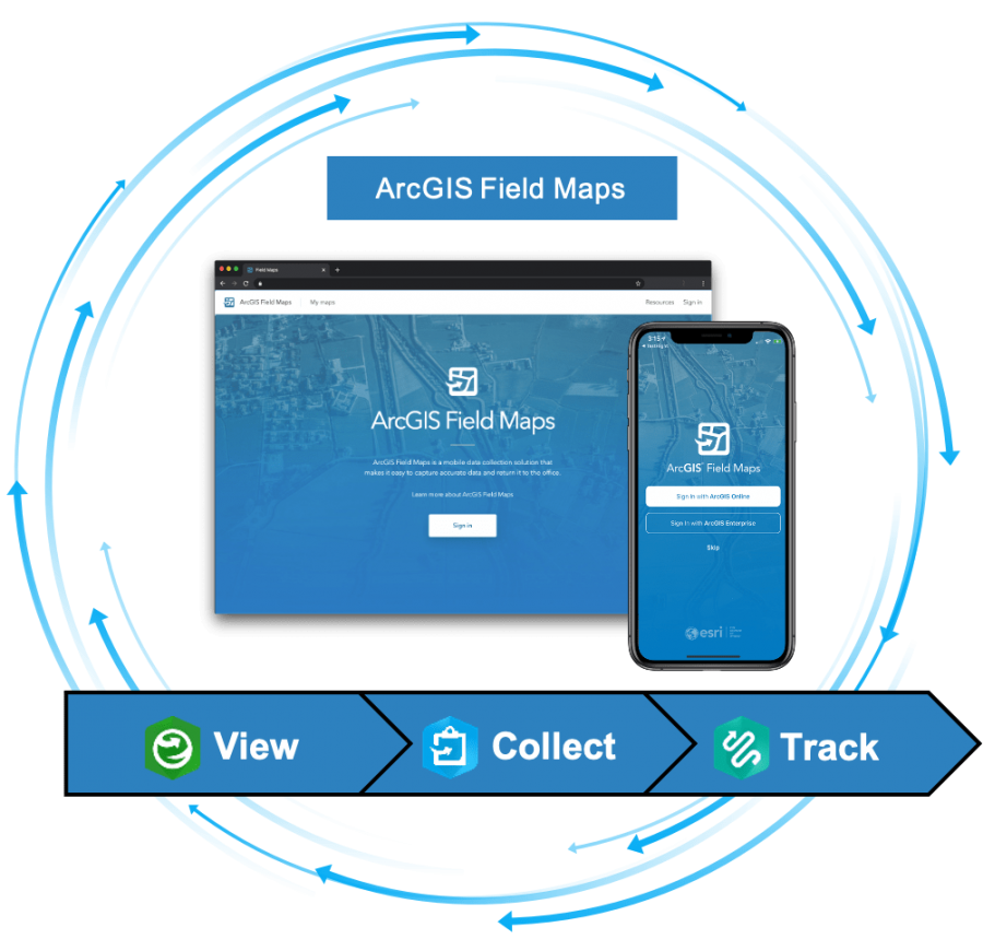
ArcGIS Field Maps is an all-in-one app that uses data-driven maps and mobile forms to help workers perform data capture and editing, find assets and information, and report their real-time locations. ArcGIS Field Maps is the go-to field app that streamlines the critical workflows mobile personnel use every day. Because it is built on ArcGIS, everyone—whether in the field or the office—will benefit from using the same data.